
SIMPLIFYING MONTANA’S PERMIT APPLICATION PROCESS
Gilly makes Montana’s stream permitting process easier to understand, helping you complete your application and keep your project information organized.

WHY PERMITS ARE REQUIRED
Projects that affect rivers, streams or lakes may require permits under Montana law and other state or federal requirements. These permits help protect water quality, wildlife and aquatic habitat.
FOR LANDOWNERS & CONTRACTORS
Gilly helps you understand the permit process, complete Montana’s Joint Application for the 310 Permit and other stream permits, and keep your project information organized.
Already have an account? SIGN IN TO GILLY
FOR CONSERVATION DISTRICTS
Gilly helps Conservation Districts review applications, communicate with applicants and manage 310 Permit information in one place.
Already working with Gilly? CD HELP CENTER
HOW GILLY HELPS
-

KNOW WHAT YOU NEED
Gilly helps you understand what information you may need before you begin.
-

COMPLETE THE JOINT APPLICATION FORM
Gilly helps you work through the form, save your progress and return anytime.
-
ADD PERMIT-SPECIFIC INFORMATION
Gilly helps you complete the additional questions for the permits that apply to your project.
-

TAKE THE RIGHT NEXT STEP
Gilly helps you follow the submission instructions for each permit.
STATEWIDE PERMIT ACTIVITY ACROSS MONTANA
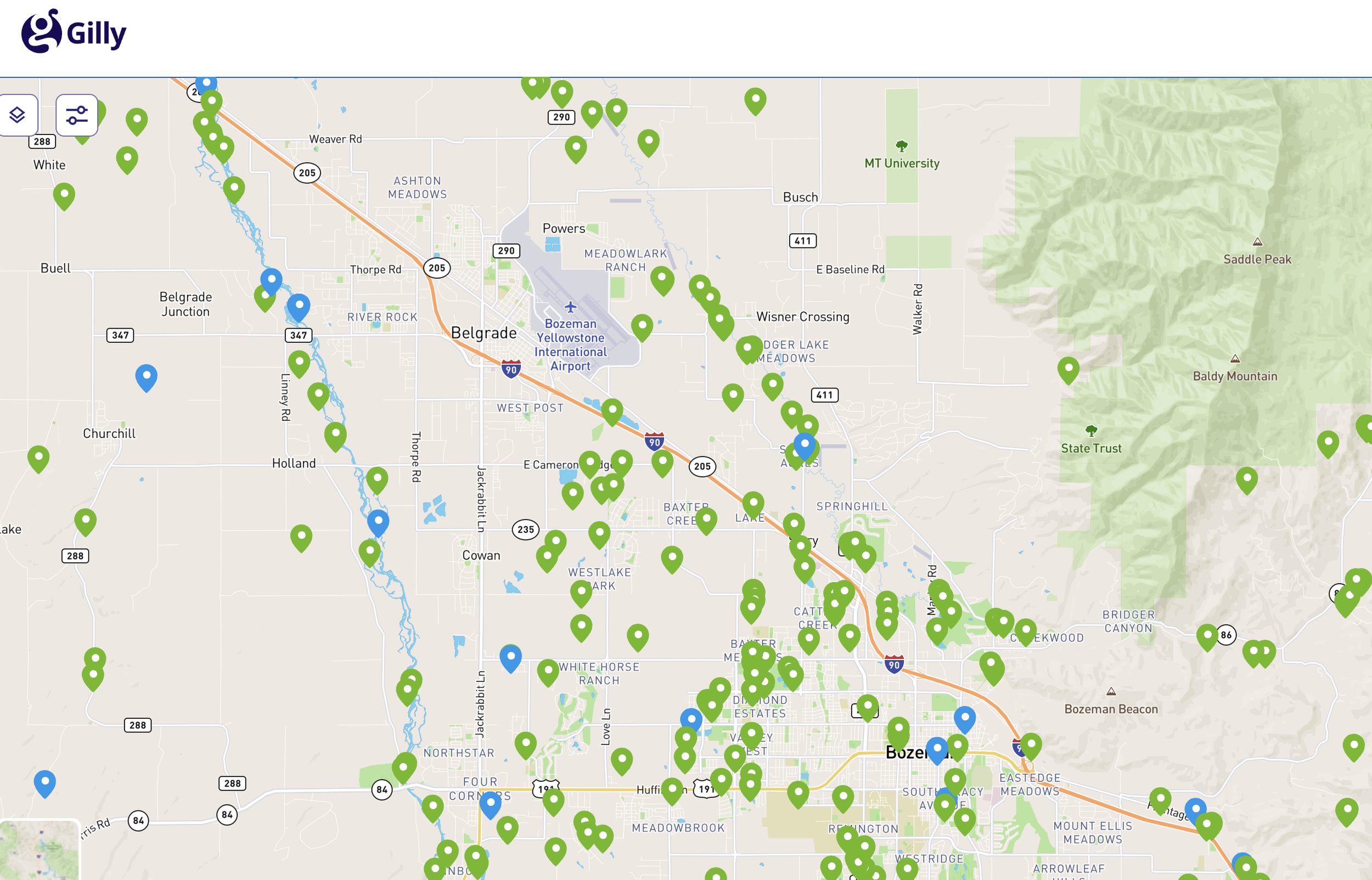
Gilly brings 310 Permit activity together in one statewide map, making it easier to see where projects are happening and how they relate to Montana’s waterways.
See projects by stream, project type and status
View watershed and hydrographic layers for added context
Explore permit activity across Conservation Districts and communities
Emergency Work or a Possible 310 Violation?
If you performed emergency work near a stream OR need to report a possible 310 violation, start here.