

GILLY’S INTERACTIVE 310 PERMIT MAP
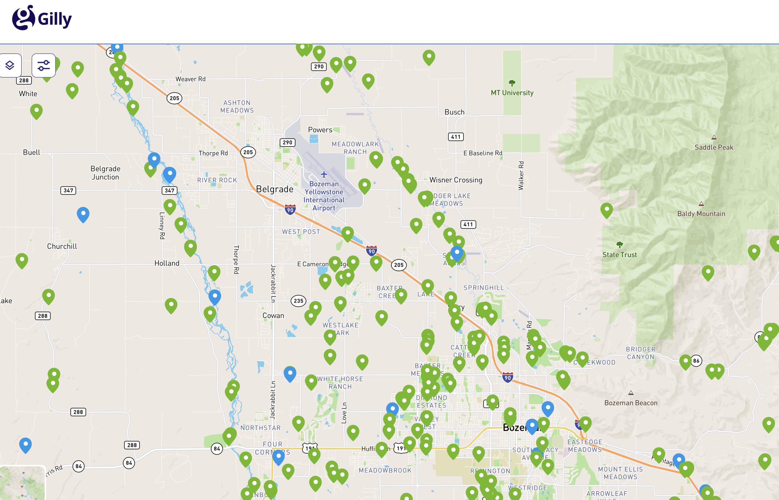
EXPLORE 310 PERMIT ACTIVITY ACROSS MONTANA
Gilly’s interactive map brings 310 Permit activity together statewide, with filters and map layers that make it easier to explore projects by location, stream, status and surrounding watershed.See permit locations, status, project purpose and submission date.
Filter by stream, status and other project details
View watershed and hydrographic layers for added context
Explore activity across Conservation Districts and communities
THIS IS JUST A STARTING POINT FOR THE MAP - EXPLAINING IT A LITTLE FURTHER, THEN JUST SENDING PEOPLE TO LINK WITHOUT AN EXPLANATION.
WHAT ELSE DO WE WANT TO ADD - HOW TO USE IT? THE LAYERS? DO WE SHOW THUMBNAILS OF THE DIFFERENT FILTERS/